One road explains almost everything about Joá. The neighborhood has no avenues, no square, no commercial strip and no bus line looping through it; it has a single artery threaded along the cliff, and everything else — the gatehouses, the condominiums, the mansions hidden in the forest, the addresses themselves — hangs off that one line like fruit off a branch. To understand Joá you do not need a map of the neighborhood so much as a map of its road: where it comes from, where it goes, what carries it across the impossible stretch of rock in the middle, and which gates open onto it. Get the road right and the rest of Joá falls into place.
Joá Rio is published from ADV101, a five-suite villa in Joá offered at R$ 15,000,000, shown privately by appointment through Art de Vivre.
Ask about a viewing on WhatsApp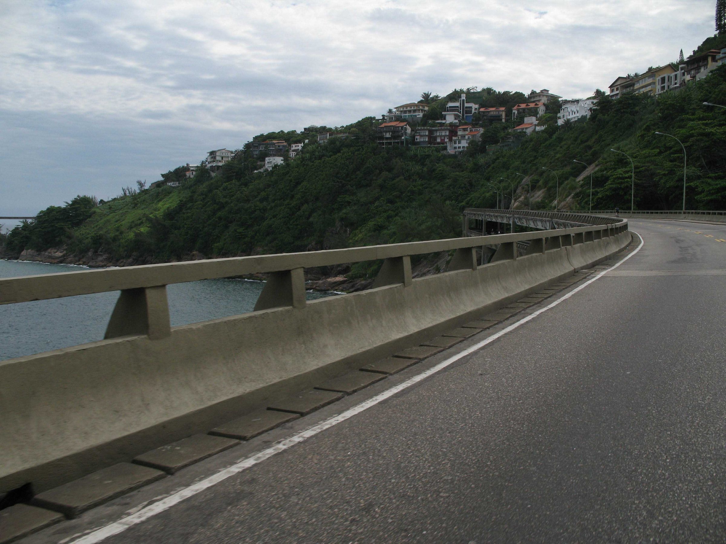
The road came in 1929, before the neighborhood did
The Estrada do Joá is older than the idea of Joá as a place to live. It was cut into the hillside in 1929, decades before the first condominiums, before the elevated highway, before the neighborhood was even formally recognised — which did not happen until the 23rd of July 1981, when the city finally drew Joá on the map as a bairro in its own right. For most of that half-century in between, the Estrada do Joá was simply the way you got around a difficult piece of coast: a two-way road that climbed and dropped along the flank of the Morro da Joatinga, paved but narrow, hemmed by rock on one side and by a long fall to the sea on the other. It did not lead anywhere in particular. It served the handful of houses that clung to the hill and then it ran out.
That is the thing to hold onto: the road existed first, and the neighborhood grew along it afterward, the way a village grows along a river. The names change and the surface improves, but the geometry laid down in 1929 is still the geometry of Joá today. When people say a house is "on the Estrada do Joá," they are naming the oldest fact about it. The broader story of how the cliff filled with houses — the mountain, the club, the fortunes — belongs to another page; this one is about the line those houses are strung along. If you have not read it yet, The Making of Joá is the companion to everything below.
It helps to picture the road physically, because its character is the neighborhood's character. The Estrada do Joá is bidirectional and long, and it never runs flat or straight for very far; it rises and falls with the hill, bends around the rock, and keeps the sea on one side and the forest on the other for most of its length. It sits, quite literally, at the feet of the Pedra Bonita and the Pedra da Gávea, so the wall of protected mountain is never out of view. There is no pavement culture along it, no café terrace, no reason to linger; it is a working road that happens to pass through extraordinary scenery. That combination — a modest two-way road carrying you through some of the most valuable land in Brazil, with almost nothing built to announce the fact — is the first surprise Joá offers anyone who drives it for the first time expecting ostentation. The ostentation, such as it is, sits behind the gates. The road itself stays plain.
Reading the route: São Conrado to Barra
Approach Joá from the east and you come out of the Zona Sul through São Conrado, under the flightpath of the hang-gliders that launch off the Pedra Bonita and settle onto the beach below. This is the last piece of conventional city before the coast turns to cliff. Beyond São Conrado the mountains push straight down into the Atlantic and there is no shoreline to build a road on — only the sheer seaward face of the massif that the Pedra da Gávea presides over. For most of Rio's history that wall of rock was where the map went quiet. The modern road solves the problem not by going around the obstacle but by going over it, out on an elevated structure hung off the cliff, before ducking back into the hill through a run of tunnels and emerging on the far side at Barra da Tijuca. The whole crossing is a little over three kilometres of engineering, and it is the reason Joá is a neighborhood and not a dead end.
Coming the other way — west from Barra — the sequence reverses, and the arrival is more dramatic. You leave the flat sprawl of the newer city, thread into the headland, and then the road lifts you out over open water with the whole of the São Conrado bay swinging into view. Residents who have made the trip ten thousand times still notice it. The route does double duty: it is the only practical way across this stretch of coast for the tens of thousands of drivers who use it every day, and it is also the front door to one of the most private addresses in Brazil. Both things are true at once, and the tension between them is the whole character of the road.
It is worth separating two things that outsiders tend to blur together, because the confusion produces a lot of bad writing about Joá. There is the old Estrada do Joá — the 1929 road, the interior artery that the gatehouses open onto, the one a resident gives as an address. And there is the modern Auto-Estrada Lagoa-Barra, the fast expressway with its elevated span and its tunnels, the one the commuters use to cross from the Zona Sul to Barra without stopping. The two run close together across the headland and in places braid into one, which is why people speak loosely of "the road to Joá" as if there were a single thing. There is not, quite. There is a quiet local road that serves the houses and a busy through-route that serves the city, sharing the same few kilometres of cliff. Knowing which one someone means is half of understanding any sentence about getting to or from the neighborhood.
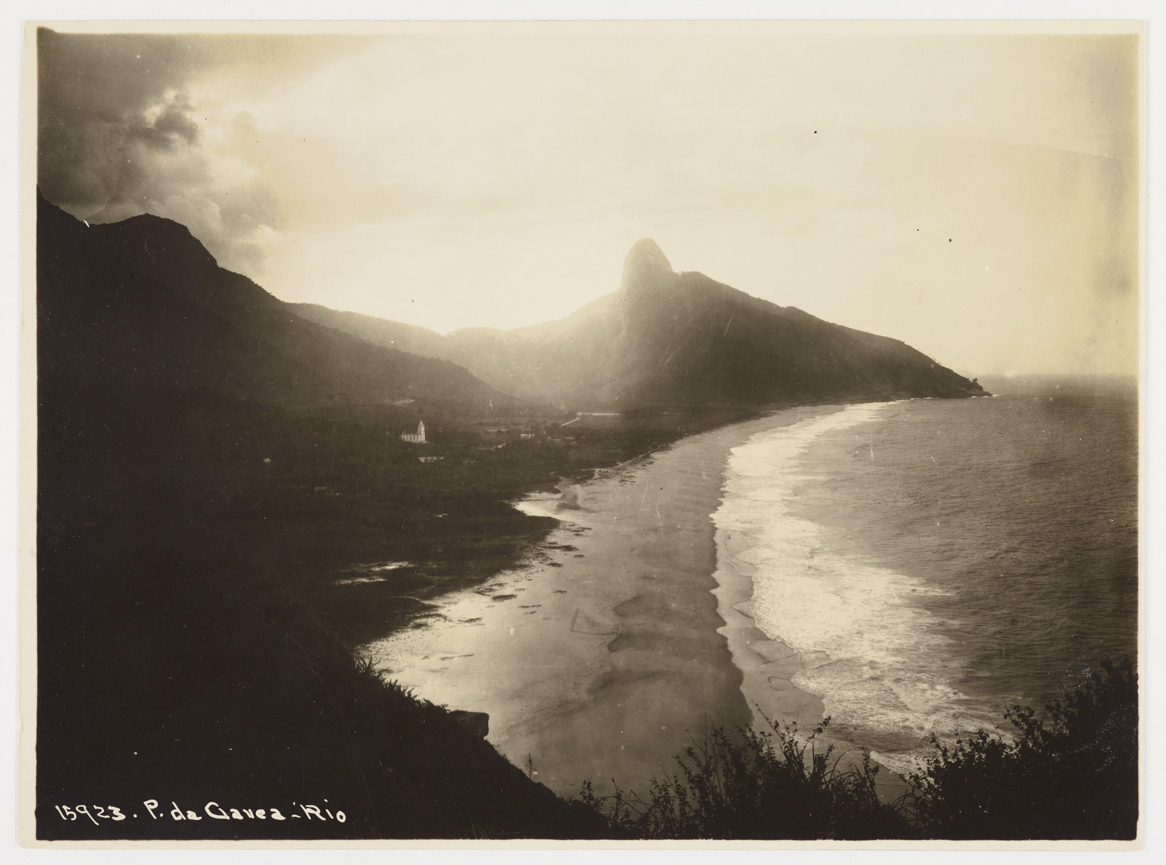
The last flat city before the rock.
East of Joá the coast is ordinary Rio — beach, buildings, the hang-gliders drifting down from the Pedra Bonita. Then the mountains meet the sea and the only way on is the engineered one. São Conrado is where the neighborhood's road begins to climb out of the world it came from.
The Elevado das Bandeiras, in detail
The elevated section is the part everyone means when they talk about "the Elevado do Joá," though its formal name is the Elevado das Bandeiras. Its outline is covered in The Making of Joá — construction begun in 1967, the road opened in 1971, a parallel structure added for 2016 — but the engineering is worth setting down plainly, because the numbers explain why the crossing took as long as it did and why it still commands the respect of the people who drive it.
The original viaduct was inaugurated on the 14th of March 1971, after four years of work on one of the least forgiving building sites in the city: a vertical rock face over the sea, with almost nowhere to stand a crane. It was designed by the architects Ubirajara Ribeiro and Walter Maffei and built by Rossi Engenharia, and the original structure runs about 1.25 kilometres as a distinctive double-deck viaduct — two levels of roadway stacked one above the other, threaded against the cliff. Stacking the decks was not a flourish; it was the only way to fit the required lanes onto a ledge that had no room to spread sideways. For four and a half decades that double deck carried traffic in both directions, and as the western city grew it carried more of it every year than it had ever been meant to.
By the 2010s the single structure had become the bottleneck of the entire coast, and the approach of the 2016 Olympic Games — with the main Olympic Park sitting out in Barra, on the far side of the crossing — finally forced the expansion. A second, northern structure was built parallel to the original, begun in 2014 and inaugurated on the 28th of May 2016, this one a single deck rather than two. With both structures in service the complex now carries six lanes of traffic — three in each direction — plus a bicycle lane, and it moves on the order of eighty-five thousand vehicles a day. The full run of viaducts and tunnels together comes to roughly 3.1 kilometres. What began as a single audacious span had become, by its own fiftieth year, a genuine piece of metropolitan infrastructure — and it had done so without ever putting a road at street level through Joá itself, which is precisely why the neighborhood stayed quiet while the traffic thickened.
The two structures repay a moment's attention side by side, because they are a legible record of how road-building changed across the half-century between them. The 1971 viaduct is the more ingenious and the more constrained: a double-decker, stacking one carriageway above another to buy width the cliff would not give, built in an era before the machinery later work could take for granted, on a face where every load had to be reckoned against the drop and the salt air. The 2016 addition is the more straightforward: a single-deck structure alongside, built to relieve a road that had simply outgrown itself, and dimensioned for a city several times larger than the one the first engineers had in mind. One is a feat of squeezing a road onto a ledge; the other is a feat of adding capacity to a route that could not be widened any other way. Together they are why a drive that was once barely possible is now merely busy — and why the Elevado das Bandeiras is one of the few pieces of Rio infrastructure that reads, end to end, as a single continuous problem solved twice, decades apart.
“The road does not run through Joá. It runs past it, on a ledge over the sea, and lets the neighborhood keep its back to the traffic.”
Into the rock: the tunnels
Where the elevated road cannot cling to the cliff, it goes through it. The crossing is punctuated by a series of tunnels bored into the headland, and they are longer, taken together, than the open viaducts. Two of them carry the same double-deck arrangement as the original elevated span. The Túnel de São Conrado runs about 260 metres at the eastern end; the Túnel do Joá — the one that gives the whole complex its everyday name — runs about 426 metres through the core of the massif. Beyond them, on the newer alignment, the Túnel Engenheiro Luiz Jacques de Moraes adds roughly 205 metres and the Túnel Engenheiro Paulo Cézar Marcellino Figueira about 405 metres. Bored rock, in the end, carries more of the distance than the dramatic ledges do; the parts of the drive that photograph best are the shortest.
The alternation is what gives the crossing its particular rhythm. You are lifted into the light and the open sea, then folded back into the dark and the hum of a tunnel, then out again — bright, dark, bright — across the few kilometres of the headland. Anyone who drives it daily stops registering the individual stages and feels only the pattern, and the pattern is the closest thing Joá has to a public ritual: the same sequence of rock and water and light that every resident, every guest and every delivery passes through to arrive. It is also why reaching a house here never feels quite like arriving in the city. By the time you turn off at a gate on the Estrada do Joá you have already left the ordinary grid behind and crossed something that behaves more like a causeway than a street — a passage out to a place set deliberately apart.
The tunnels also connect the crossing to the wider expressway it belongs to. The whole route from the Lagoa district out to Barra is the Auto-Estrada Lagoa-Barra, and the stretch that lifts you out of the Zona Sul and into São Conrado passes through the Túnel Zuzu Angel — 1,522 metres, opened in 1971 and once known as the Túnel Dois Irmãos, before it was renamed for the fashion designer whose son was killed by the military dictatorship. That story, and the reason her name sits on the road into the most sheltered neighborhood in Rio, is told in full on The Making of Joá; it is worth knowing before you drive the tunnel a second time. The system as a whole has been run by the city's traffic authority, CET-Rio, since 1993, and on a normal day it moves something like a hundred and thirty thousand vehicles.
The gatehouses that open onto it
Drive the Estrada do Joá slowly and you notice that the neighborhood barely shows itself. There are no shopfronts, no house numbers painted large, no sense of a street you could walk down and browse. What you see instead, at intervals along the road, are gatehouses — the guarita and its boom barrier, a uniformed guard, a camera or two, and a name. Each one is the mouth of a gated condominium that climbs away from the road up into the forest, and behind the barrier the private lanes and the houses begin. From the public road you see almost none of it. This is not an accident of development; it is the development. Joá was built as a sequence of gated enclaves hung off a single through-road, and the gatehouse is the hinge between the two worlds.
It is worth being precise about what is private here and what is not, because it is easily got wrong. Joá itself is an open, public bairro — a normal neighborhood of the city, its road a public road that anyone may drive. The privacy belongs to the condominiums within it, each a separately gated community with its own security, its own internal streets, and its own rules about who passes the barrier. The distinction matters. You can drive the full length of the Estrada do Joá as a stranger and see the sea and the rock and the gatehouses; what you cannot do is drive past any one of those gatehouses without an invitation. The most exclusive addresses in the city are reached, in the end, through a public street and a private gate, in that order. The internal world behind those barriers — how the condominiums are organised, what they hold — is its own subject, laid out in The Condominiums of Joatinga.
The gatehouse also shapes how the road feels to live on, which is subtly different from how it feels to drive. Because every entrance is controlled, the Estrada do Joá carries almost no foot traffic and no casual comings and goings; the people you see are residents' cars turning in and out, delivery vehicles waiting at a barrier to be cleared, the occasional service van. There is no pedestrian passing trade because there is nowhere for a pedestrian to be going. The security infrastructure that residents describe — twenty-four-hour gatehouses, cameras covering the internal and external approaches, staff who know the regular cars on sight — is standard across the condominiums, and its cumulative effect is a road that is busy with through-traffic on the expressway above and almost eerily still at the level where people actually live. That layering, fast movement over deep quiet, is unusual anywhere, and it is one of the specific things that makes an address here feel removed from the city while being, by the map, only minutes from it.
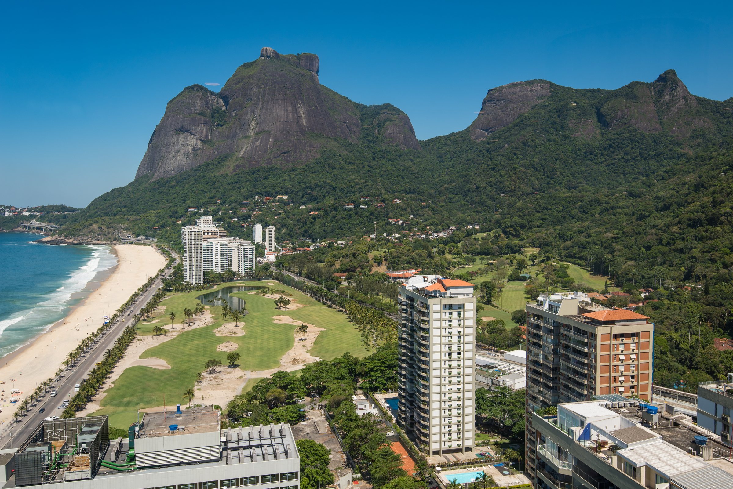
How to read a Joá address
Because there is essentially one road, a Joá address is built in layers, and once you know the layers they are easy to read. The base is almost always the same: Estrada do Joá, followed by a number. That number places you along the road — low numbers toward the São Conrado end, climbing as you travel west — but on its own it rarely gets you to a front door, because the door is not on the road. It is up a private lane inside a gated condominium. So the useful part of the address is the second layer: the name of the condominium, which is what the gatehouse announces and what actually tells a resident, a driver or a courier where they are going. "Estrada do Joá, such-and-such number" gets you to a barrier; the condominium name gets you through it; a house or lot number inside gets you the rest of the way.
This is why locals speak in condominium names rather than street numbers. The road is a shared spine, so naming it tells you little; the enclave is the unit of identity, so naming it tells you almost everything — the level of the hill, the character of the community, the kind of house you are likely to find. A practised reader of Joá addresses hears the condominium name and immediately knows roughly where on the cliff a house sits and what it looks out on. For a house like ADV101, the address is finally a set of coordinates on this one road: a point along the Estrada do Joá, a gate, and then the private world beyond it that the road exists to serve. What it is like to actually live at one of those coordinates — the rhythm of the gate, the drive, the quiet — is the subject of Living in Joá.
The Ciclovia Tim Maia, and a name worth getting right
There is one more line strung along this coast, and it is the source of the most common confusion about Joá, so it is worth stating carefully. The Ciclovia Tim Maia is the seaside bicycle path — not the highway, not the elevated road, not the tunnels. It is roughly nine kilometres of cycleway hugging the Atlantic, built to connect Leblon in the Zona Sul to Barra da Tijuca, and part of its route runs alongside the coast road out through Joá, including a stretch carried on the elevated structure itself. It was partially inaugurated on the 17th of January 2016, at a cost of around forty-five million reais, and it was the missing link that finally made it possible to ride a bicycle continuously along the shoreline — some thirty-five kilometres in all. The panoramic seaside stretch along the Avenida Niemeyer was opened to riders in January 2016 as the last link in the coastal route.
The path is named for the singer Tim Maia, and specifically for his 1986 song "Do Leme ao Pontal," whose lyric traces exactly the coast the finished cycleway follows — from Leme, at the eastern end of the beaches, all the way to Pontal in the far west. That is the whole of the connection. It is worth repeating the point made in the neighborhood's other pages, because even careful writing gets it wrong: the road and the elevated highway were not renamed after Tim Maia. The highway is the Elevado das Bandeiras; the singer's name belongs to the bike lane. Keeping the two apart is a small test of whether someone actually knows Joá or is repeating something they read.
For a resident or a guest, the Ciclovia is the neighborhood's best free spectacle. Ridden or walked, the seaside stretch delivers the coast at eye level and at cliff height by turns — the open Atlantic on one side, the rock rising on the other, São Conrado's bay opening out behind — a sequence of views that the drive, faster and hemmed by barriers, never quite gives you. It is the one place where the geography that makes Joá so hard to build on becomes something you can simply move through and enjoy, without a gate or a guard, on foot or on two wheels. The path connects the neighborhood outward, too: from Joá you can follow the shoreline east toward Leblon and the beaches of the Zona Sul, or west into Barra, without ever leaving the sea. In a neighborhood defined by enclosure, the cycleway is the one line that is emphatically open.
Honesty about the Ciclovia also means acknowledging its hard early history. Three months after it opened, on the 21st of April 2016, a section of the elevated cycleway between São Conrado and Vidigal was torn loose by the sea — a large wave lifted two blocks of the deck from below — and two men, aged fifty-three and sixty, were killed, with others injured. The collapsed span was rebuilt to a heavier design, with thicker pillars, and reopened in September 2017; further stretches were damaged again by storm-driven landslides in early 2019, though without loss of life. The Atlantic that gives this coast its beauty is also, on this exposed edge, a force the engineers have to keep answering. It is a reminder that everything here — road, cycleway, houses — is built against the sea and the rock, and holds its position only by constant maintenance.
One road, and what depends on it
There is a plainer truth underneath all of this. A neighborhood served by a single road is a neighborhood that lives and dies by that road's condition. When the elevated structure is closed for works, or a tunnel is under repair, or the sea has taken another bite out of the cycleway, Joá feels it immediately in a way a gridded neighborhood never would; there is no parallel street to divert onto, no back way in. This is the quiet cost of the geography that makes the place so private. The same rock wall that keeps the city out keeps the residents to one line of access, and that line has to be engineered, watched and rebuilt in perpetuity. The reward is a neighborhood with no through-traffic, no commercial clutter and no crowds — a place that turns its back on the very road that reaches it. The price is that the road can never be taken for granted.
There is a longer view worth taking, too. Everything here — the 1929 road cut into the hill, the 1971 viaduct hung off the cliff, the tunnels bored through the massif, the 2016 duplication, the cycleway rebuilt after the sea took it — is a running argument between engineering and a piece of coast that never wanted a road at all. The massif refuses to give ground; the Atlantic keeps testing the structures; the forest above sheds rock and water in the storms. Each generation of builders has answered the same terrain a little differently, and the sum of their answers is the crossing as it stands today. That is a useful thing to remember when the drive feels effortless: it is effortless only because a great deal of difficult, unglamorous work holds it open, and holds it open still. The neighborhood's privacy and its access are, in the end, the same achievement seen from two sides — a road hard enough to build that, once built, it kept almost everyone else out.
For anyone weighing a house on the cliff, the road is therefore not a detail but the first thing to understand. It sets the drive times, the arrival, the sense of removal, the way a guest experiences coming to you. At the Art de Vivre villa ADV101 the whole approach is part of the address: the lift out over São Conrado, the run through the rock, the turn off the Estrada do Joá and up to the gate. The collection's team knows this coast road the way residents do, and the wider view of the neighborhood and its houses is set out at Art de Vivre, where the individual properties along the Estrada do Joá are described in full.
Read the neighborhood this way — as one old road from 1929, lifted across an impossible cliff by an engineered span from 1971, doubled for an Olympics in 2016, shadowed by a bike path named for a song, and lined with gates that open onto private worlds — and Joá stops being mysterious. It becomes legible. The mystery was only ever the difficulty of the terrain and the privacy of the people who chose to live on it; the road is the key that unlocks both. To see how that terrain came to hold the fortunes it does, and to meet the mountain, the club and the history that filled it, turn to the Art de Vivre collection and to the neighborhood pages that sit alongside this one at the Joá reference hub.
The mountain, the club and the history that filled the cliff: The Making of Joá.